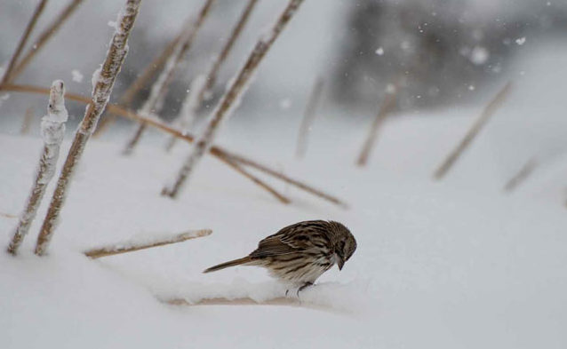
Song sparrow © Rhonda Wiles
The forecast for tomorrow looks like a doozy. It’s possible it may be one of the biggest March storms in New England history. With lots of snow, wind, and a wintry mix, plan to stay safe and off the roads if at all possible.
It’s counterintuitive that a warming world would bring more intense snowstorms to New England, but that may very well be the case. In fact, storms considered severe nor’easters by today’s standards may become the norm in the near future.
How can that be?
To understand how this works, we need to look at where nor’easters, and storms in general, get their gusto. Nor’easters gather energy when cold, dense air from Canada meets warm, moist air coming off the Atlantic Ocean on the Gulf Stream. The colliding air masses give the atmosphere everything it needs to make a major storm: moisture, warm temperatures to loft air upward, and dense cold air to stir it all up.
As our oceans warm, we’ll see more moisture and more heat energy stored in the southern Atlantic Ocean. That means nor’easters will be more common and more potent. As long as air temperatures over Canada remain cold enough to bring snow, we could have more snowstorm stories to tell over the next few decades.
Beyond 2050, the outlook is less certain. We may see nor’easters remain strong, become more frequent, but bring heavy rains instead of snow. But there is also a chance that temperature will warm faster over Canada than the Atlantic bringing us more storms but fewer nor’easters.
For now, keep the shovels handy, a deck of cards at the ready, and the cupboard stocked with canned food.
Written by Daniel Brown, Mass Audubon’s Climate Change Program Coordinator


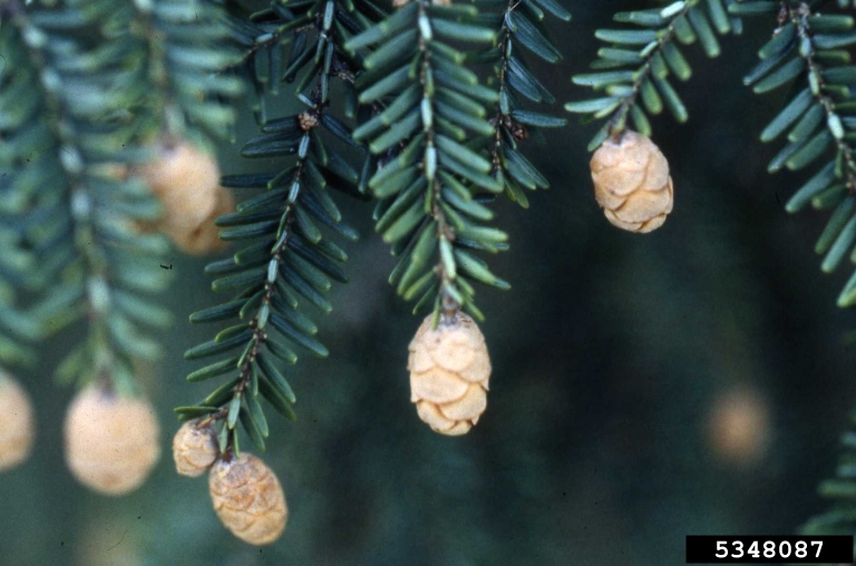
 Of all the evergreens in the winter woods, eastern hemlocks are the friendliest.
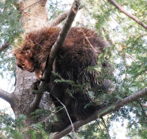
 Hemlock groves are magical to non-human animals, too. Because hemlock branches hold so much snow, snow depths beneath the trees are significantly lower. Deer often bed down underneath these trees, taking advantage of shallower snow and sheltering branches. Treat yourself to an early morning snowshoe or hike. You may be able to follow deer tracks from hemlock to hemlock, finding packed snow outlining the shape of a deer underneath each one.
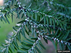
 Sadly, our Massachusetts hemlocks are threatened by