
By Tiare Sierra Rivera, Ecological Restoration Fellow
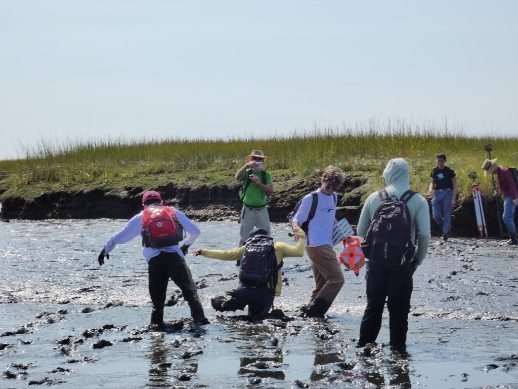
Not too long ago, I stepped into a salt marsh for the first time. It was a warm and sunny September day, and I was a senior at Boston University taking a class, “Estuaries and Nearshore Systems,” with Professor Sergio Fagherrazzi—a big name in the salt marsh world for his work on marsh morphodynamics during accelerated sea level rise. As part of the class, we headed out to Plum Island Sound, the largest estuarine ecosystem in New England, to collect elevation and sediment data.
It was wonderful: the bright green grasses rolled toward the horizon, the deep blue of the ocean pushed in and out with this quiet-but-powerful rhythm, and then… the smell. A strong, putrid, decomposing peat-meets-salt smell. And yet, paired with the stunning scene and fascinating science at hand, I loved it. By the time I got home, my camera roll had 40 new photos—horseshoe crabs, mud patterns, pickleweed, everything. I had never seen a salt marsh before, since we don’t have them back home in Puerto Rico. Maybe that’s why it felt so magical. But I also couldn’t help thinking: How have I lived in Boston for three years and no one has ever mentioned these places to me?
On the last day of the class, Professor Fagherrazzi awarded me the “Crab Award,” given to the student who had the most fun (and was the most clumsy) on our field work trips out at Plum Island. Fast forward to today, a little over two years later, and the biggest project of my fellowship with Mass Audubon’s Ecological Restoration team has been, fittingly, the Salt Marsh Framework.
Mass Audubon’s Senior Coastal Ecologist Sara Grady has been dreaming about this project since 2024. When I joined the Ecological Restoration team in June 2025, she told me about her idea of mapping all salt marshes in the state and gathering multiple datasets to visualize information on the present and future of salt marshes in Massachusetts. She then hoped to use that data to roll out statewide management and restoration recommendations to local governments, organizations, and scientists interested in restoration. 305 hours of work later, from October 2025 to April 2026, the Salt Marsh Framework is now doing just that.
Today, the Salt Marsh Framework is a GIS-based model that scores marshes across three dimensions: Condition (looking at vegetation health and surrounding land use); Trajectory (accounting for tidal position, elevation gain, marsh-edge exposure); and Migration (assessing potential opportunities for salt marsh landward movement as sea level rises). These scores connect directly to restoration and management actions, helping users understand both the urgency and the restoration potential. The framework includes extra “lenses” like marsh size, blue carbon value, and bird habitat importance so anyone—from academics and students to researchers and consultants to conservationists and other scientists—can tailor decisions to their ecological goals. The version 1 Map Viewer product is now available for anyone curious about the state of Massachusetts salt marshes.
Working on this project opened a huge door for me: I was recently accepted into the University of Rhode Island Graduate School of Oceanography to pursue a Master of Science in Marine Geology. Starting in September, I’ll be researching salt marsh resilience and migration across Northeast National Parks, from Assateague Island in Virginia all the way up to Acadia in Maine. Whether it is analyzing data or getting muddy out in the salt marsh, I’m excited for another opportunity to get to know these ecosystems a little better—both for my own pleasure and for a future full of healthy salt marshes.
Tiare Sierra Rivera (she/her) grew up in Puerto Rico. She graduated from Boston University with a B.A. in Earth and Environmental Science, concentrating in GIS and remote sensing, and minoring in marine science. While at BU, she was a student-athlete on the sailing team, earning MVP honors two years in a row.
Tiare’s environmental journey includes two summer internships in climate resiliency and environmental permitting, as well as a transformative summer experience conducting scientific diving research in Mozambique. During the academic year, she taught an accredited sailing course to fellow college students and served as a teaching assistant for an introductory environmental science class.